Floor Level on Photos from Your Phone's Barometer
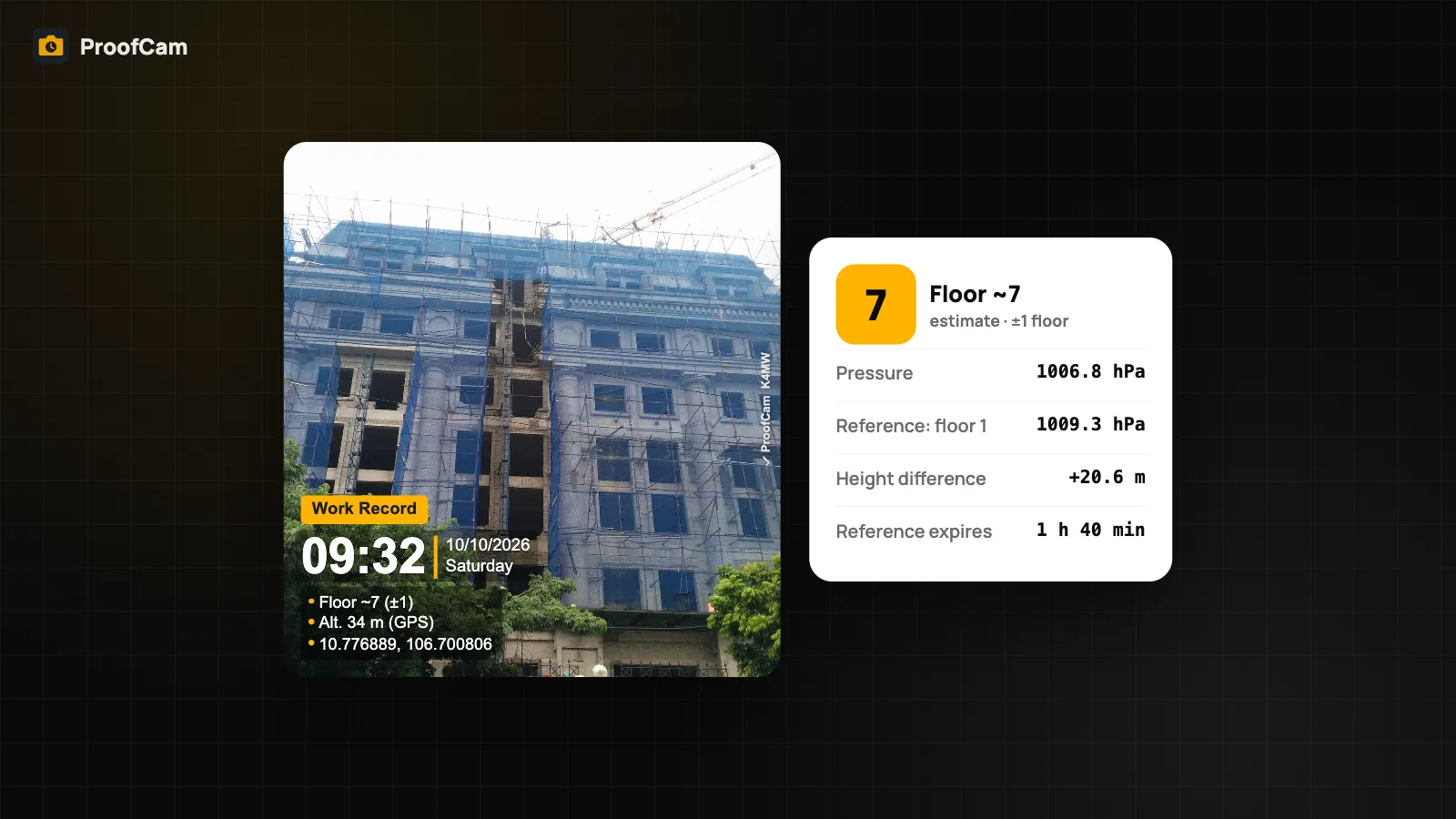
Stamp an estimated floor level on photos from the phone barometer: set a reference floor, read Floor ~N (±1), and learn why the altitude line is GPS.
ProofCam · Blog
21 ProofCam articles about Field work.
Stamp an estimated floor level on photos from the phone barometer: set a reference floor, read Floor ~N (±1), and learn why the altitude line is GPS.
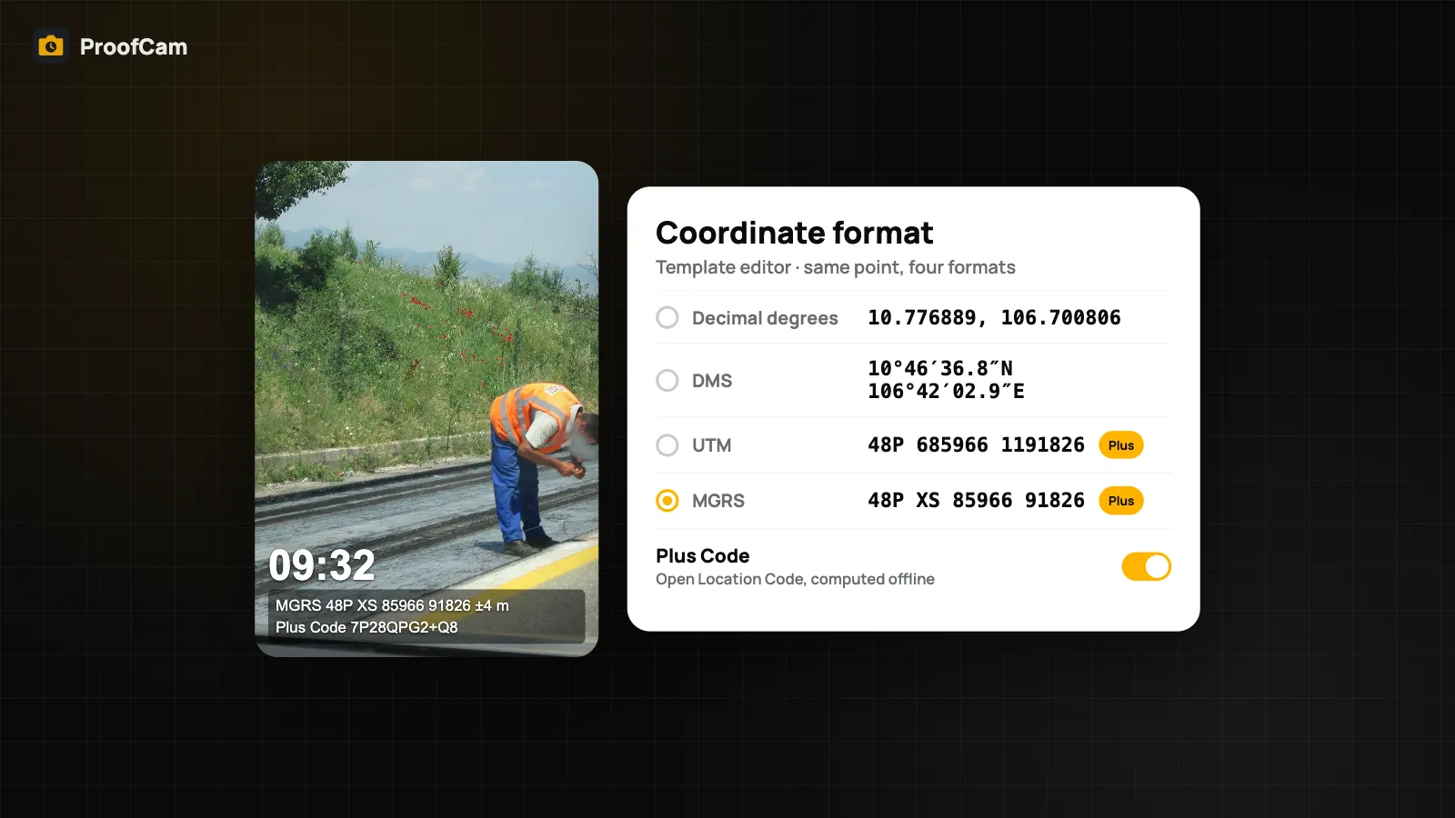
Print UTM and MGRS coordinates on photos, or decimal degrees, DMS and Plus Codes, and stamp the distance and true bearing to a target point.
Change the watermark language separately from the app language, choose from 7 languages and translate photo notes on the phone, even with no signal.
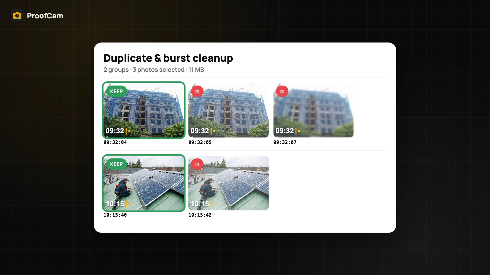
Find near-identical and burst photos in ProofCam, keep the best shot of each group and delete the rest from your phone. On device, nothing deleted for you.
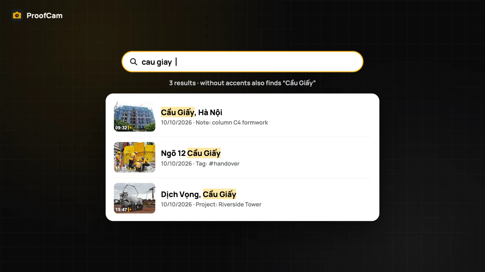
Search job photos on your phone by note, address, tag, project or Photo Code, with filters for today, 7 days, videos and clock photos. Works offline.
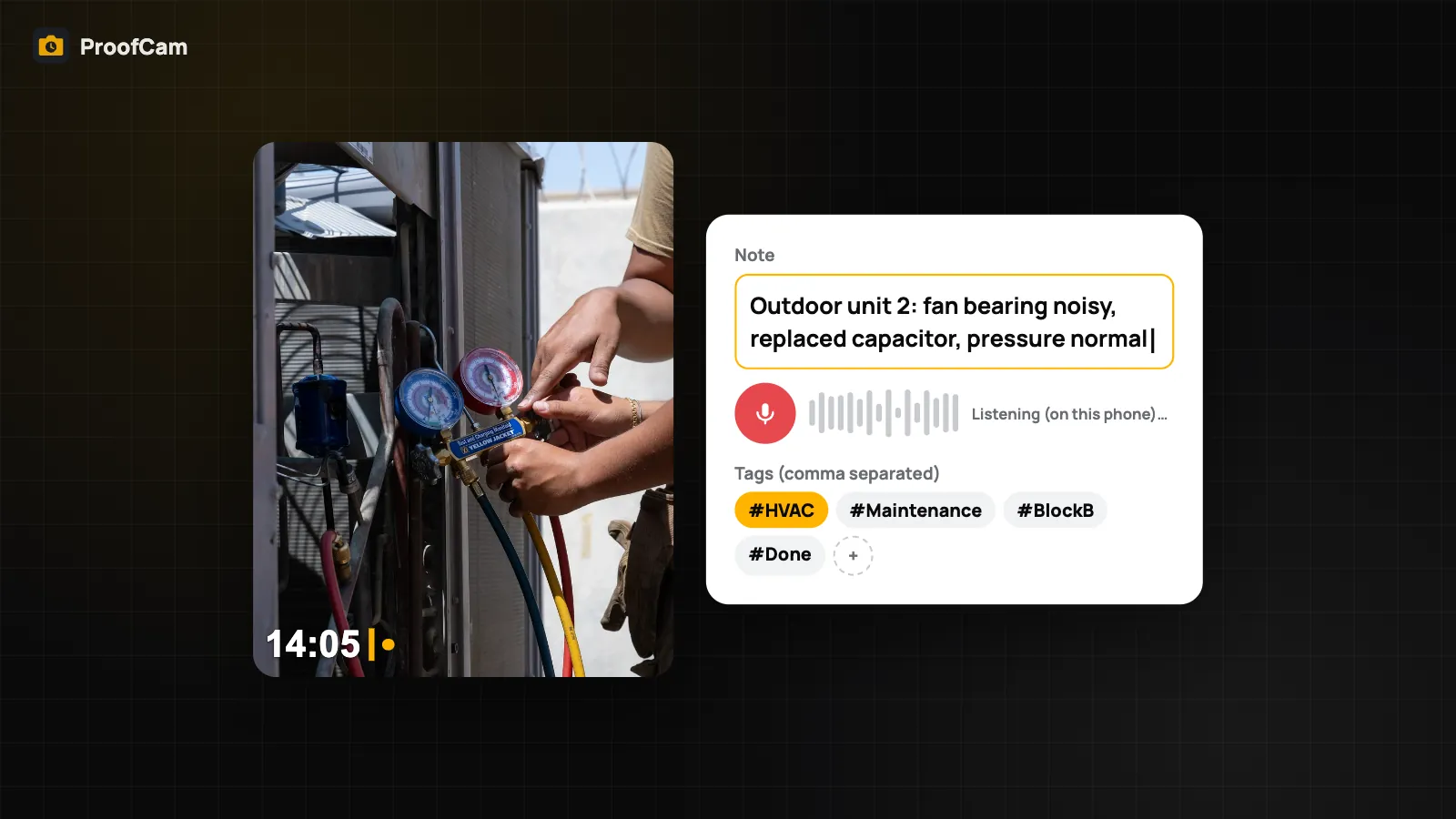
Add notes to photos before you shoot, by typing or dictating on the phone, plus tags and custom fields printed on the stamp and searchable later.
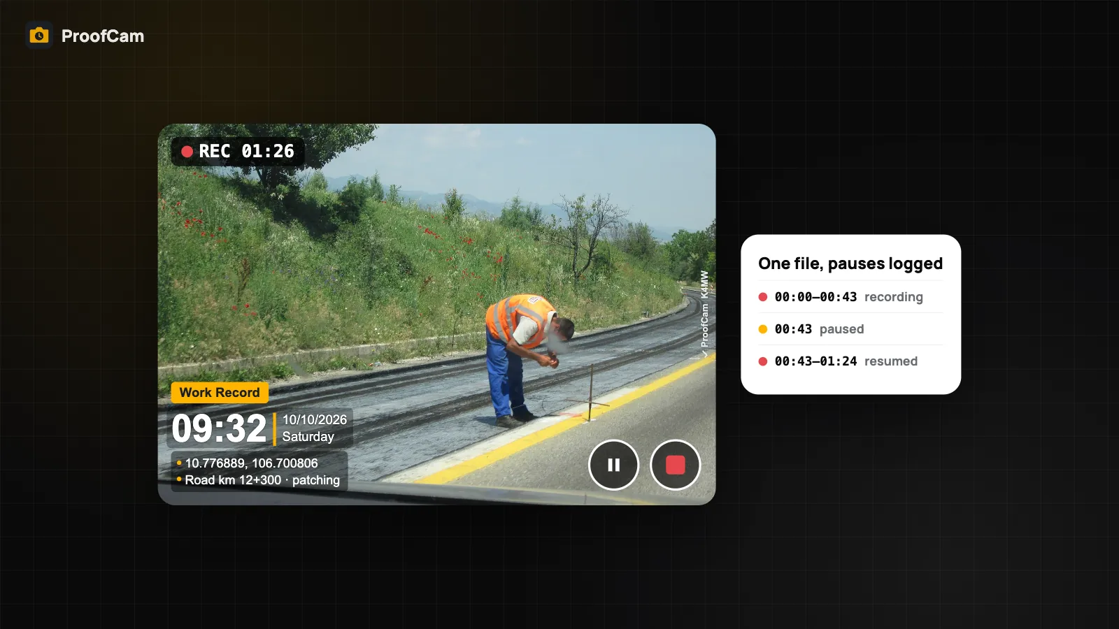
Record timestamp video with a GPS watermark and a Photo Code, pause and resume in one file, and export per-second time and location as SRT and GPX files.
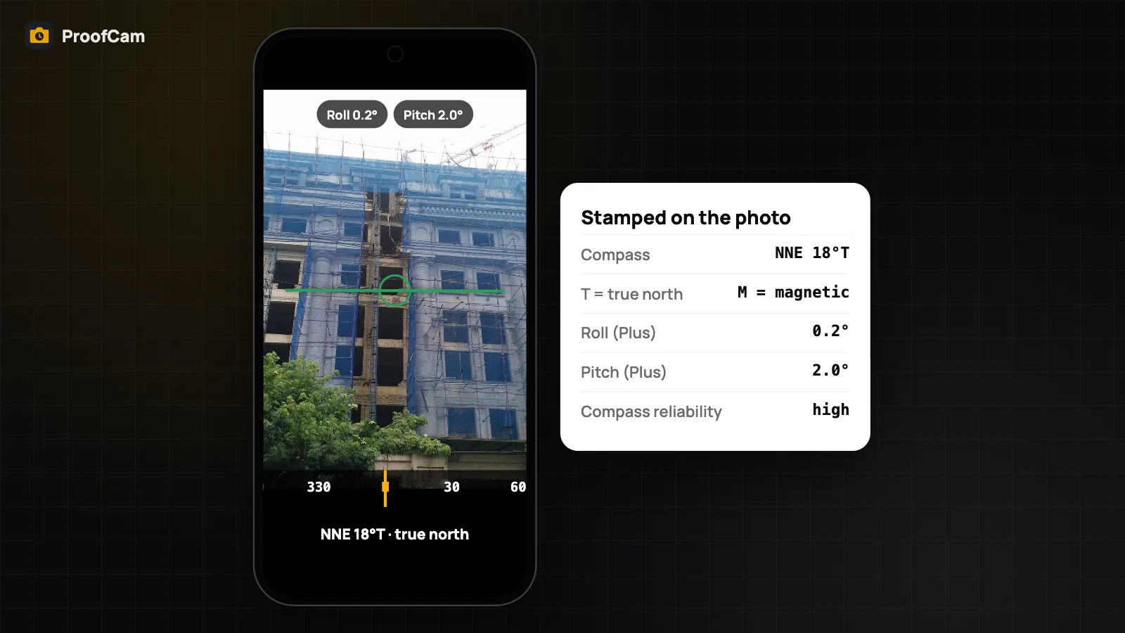
Use your phone's sensors as a camera level, inclinometer and true-north compass. ProofCam stamps the bearing on the photo and saves pitch and roll as evidence.
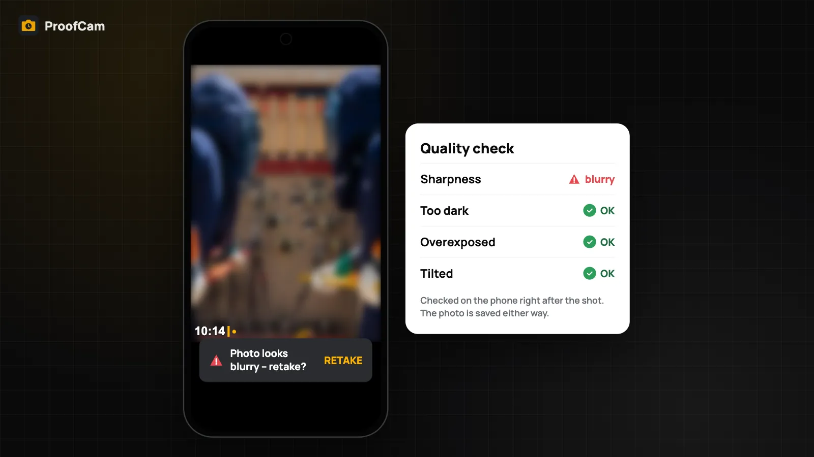
ProofCam checks each photo right after capture and warns if it looks blurry, too dark, overexposed or tilted, so you can retake it before leaving the site.
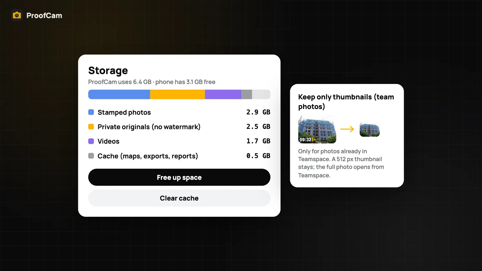
Phone storage full of site photos? Free up space by deleting only copies already backed up to the cloud. The stamped photo and Photo Code stay verifiable.
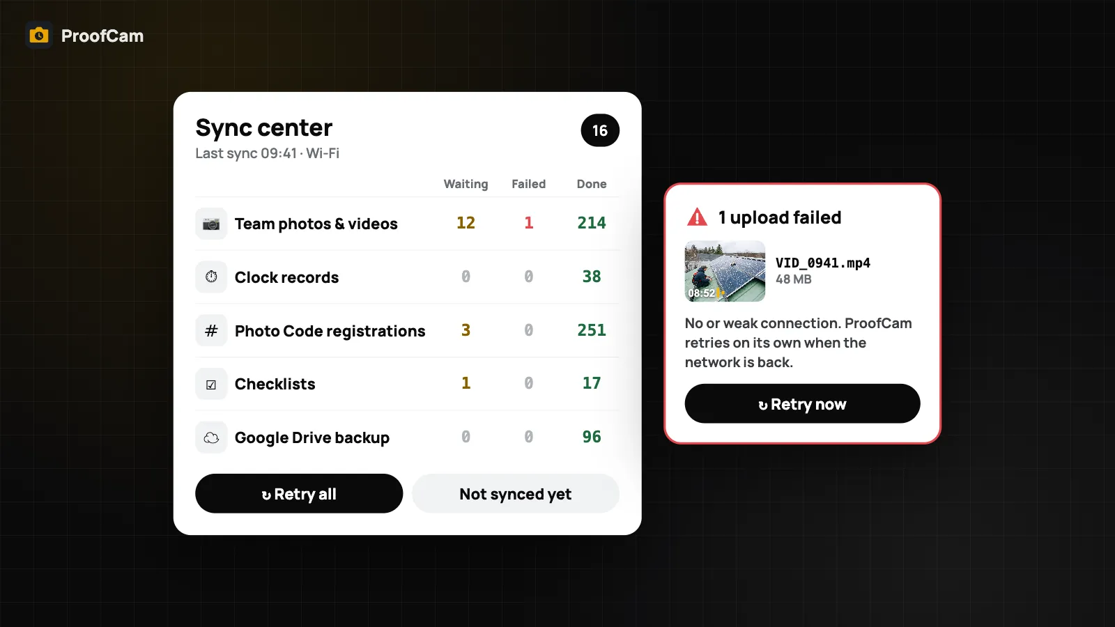
Photos not uploading? ProofCam's Sync center shows every photo upload queue, plain-language failure reasons, Retry all and Wi-Fi only options.
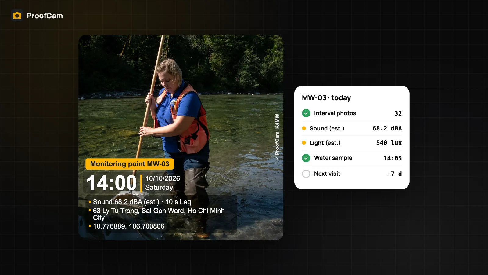
Build an environmental monitoring photo log: GPS-stamped photos per monitoring point, sampling checklists, indicative meter readings and time-lapse.
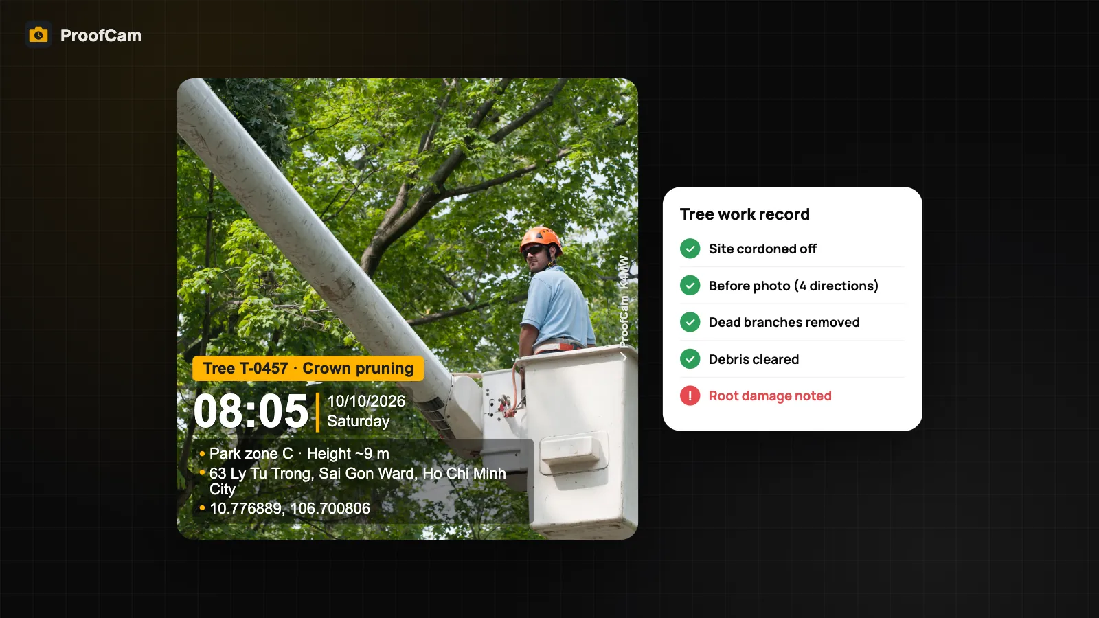
Landscaping job photos with time, GPS and tree ID: before/after per tree, a map of photo pins, tree work checklists and a share link or PDF for the client.
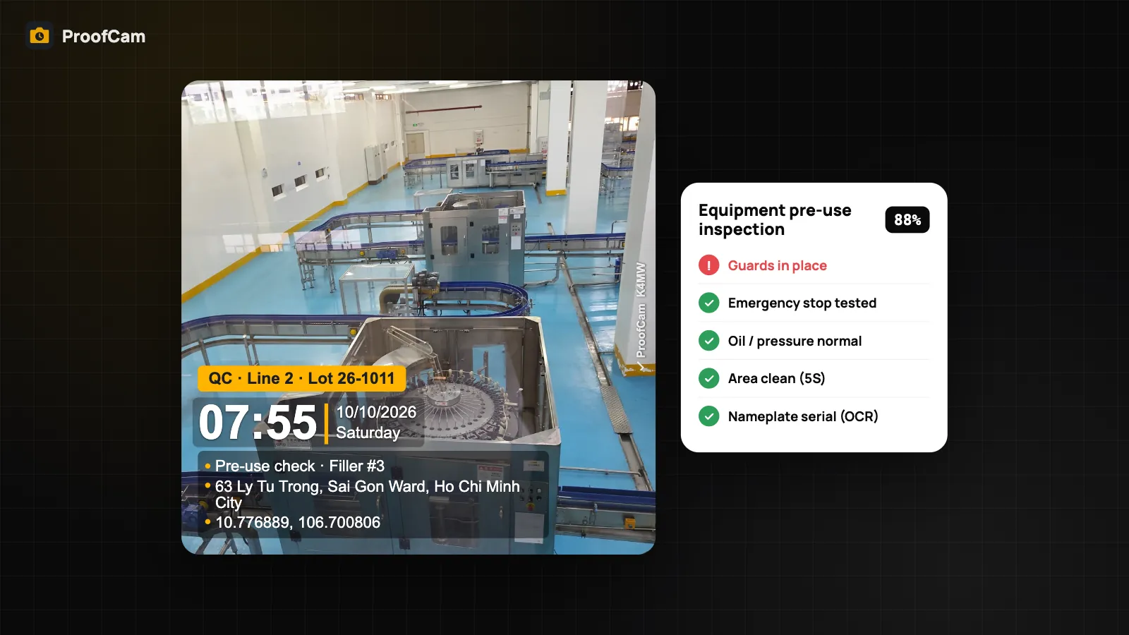
Use an equipment inspection app for pre-use checks, 5S audits and QC rounds: scored checklists, asset QR scans, stamped photos and tasks for every flag.
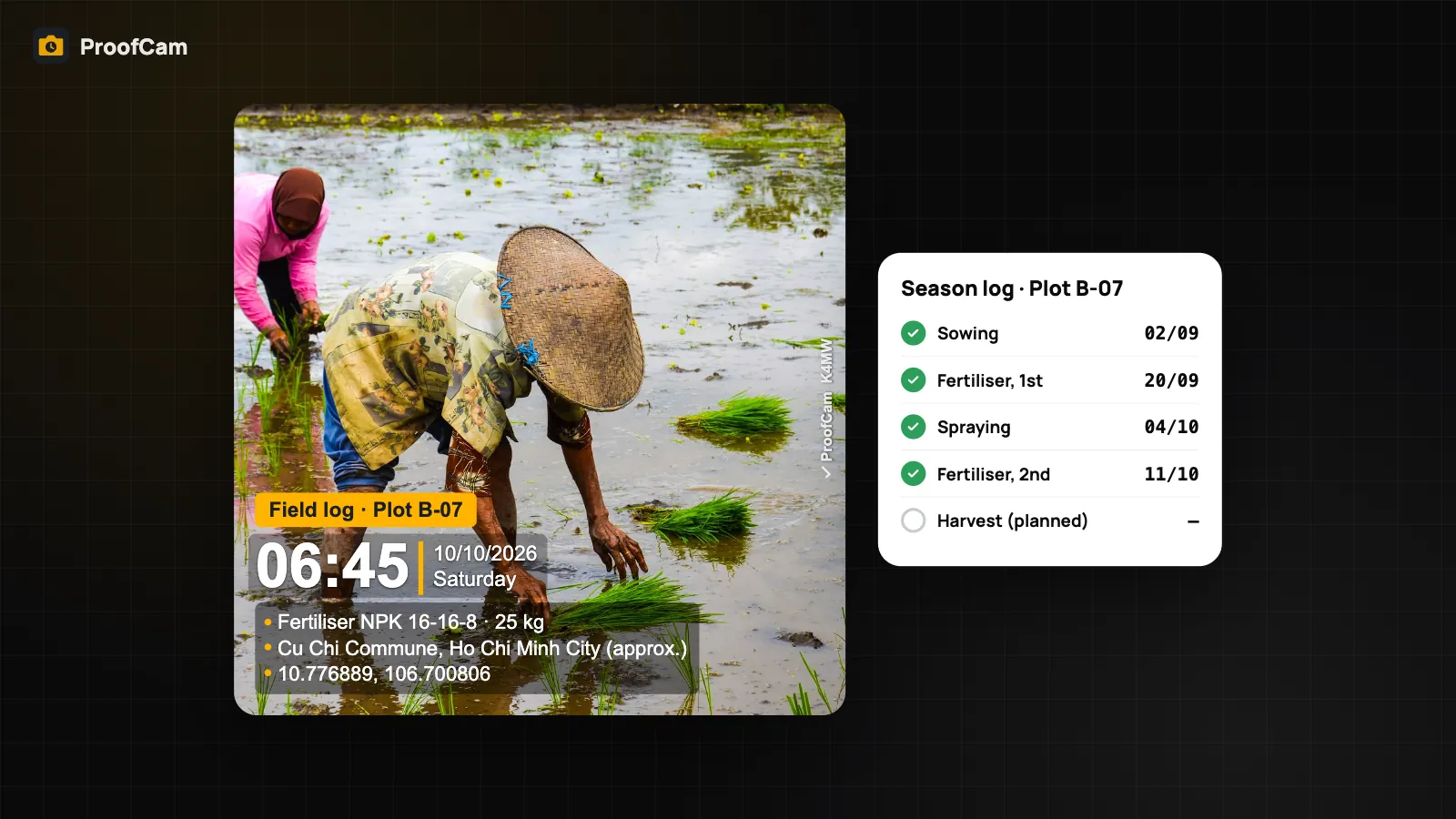
Use ProofCam as a farm record keeping app: GPS-stamped field photos offline, spray and fertiliser checklists, plot fields and a photo log per plot.
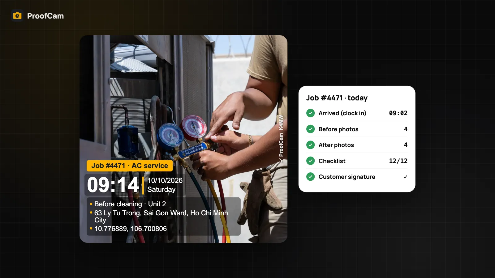
Take HVAC job photos with time, GPS and a Photo Code: before/after, nameplate serials, gauge readings, a signed checklist and a PDF service report.
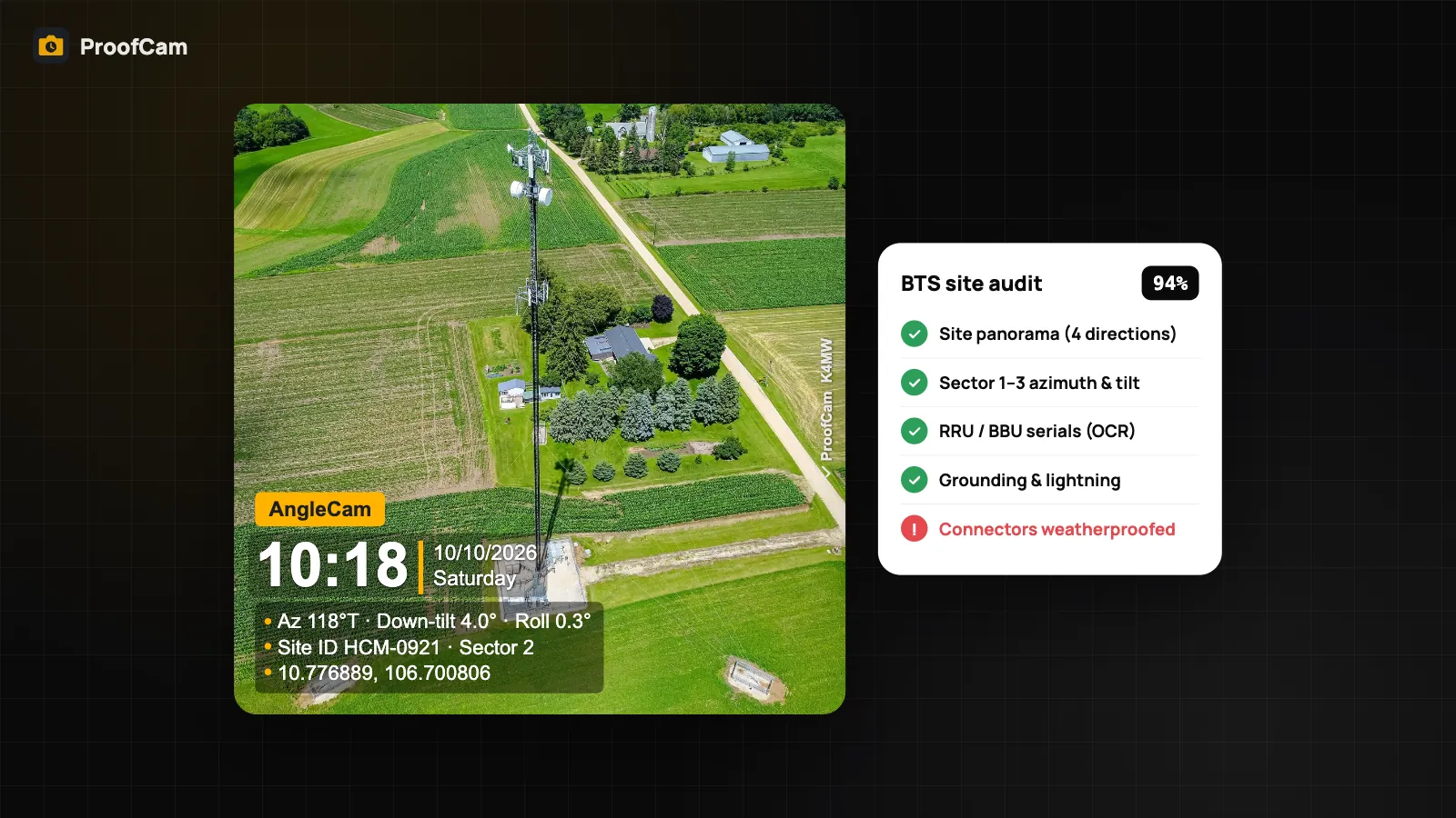
A telecom site audit app for BTS and cell sites: AngleCam tilt and azimuth photos, scored audit template, OCR'd RRU/BBU serials and KMZ export.
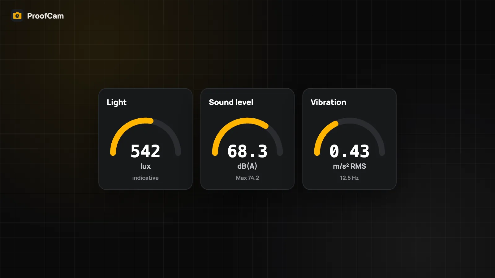
Stamp light, sound and vibration readings on site photos, connect a Bluetooth RTK GNSS receiver or laser meter, and know the limits of phone meters.
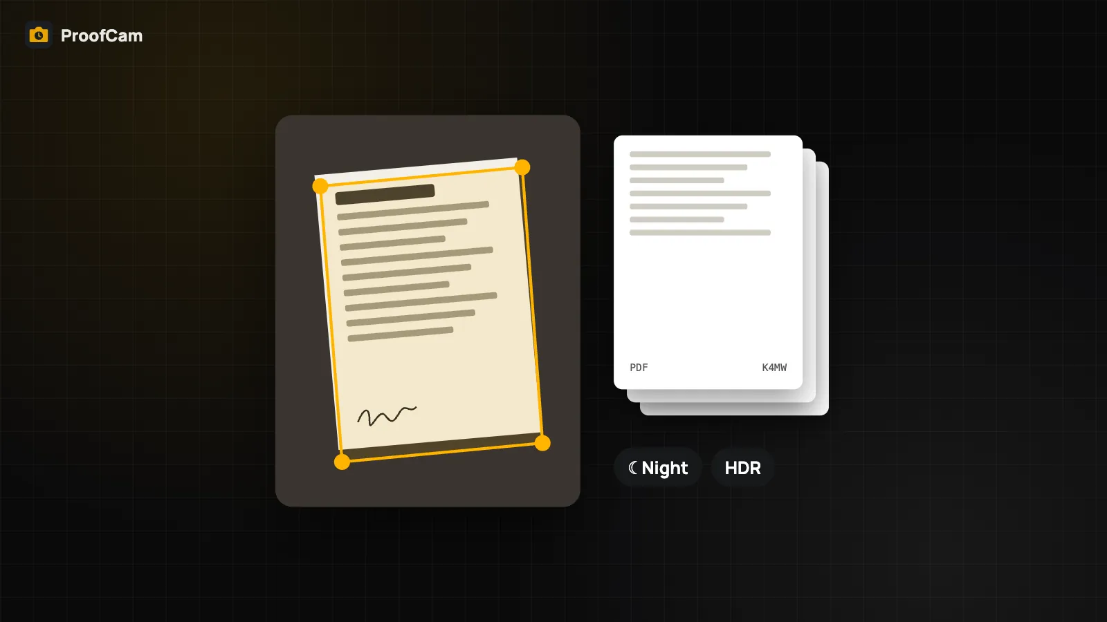
Scan multi-page forms into one PDF with a Photo Code on every page, read serial numbers with on-device OCR and shoot in low light with Night/HDR.
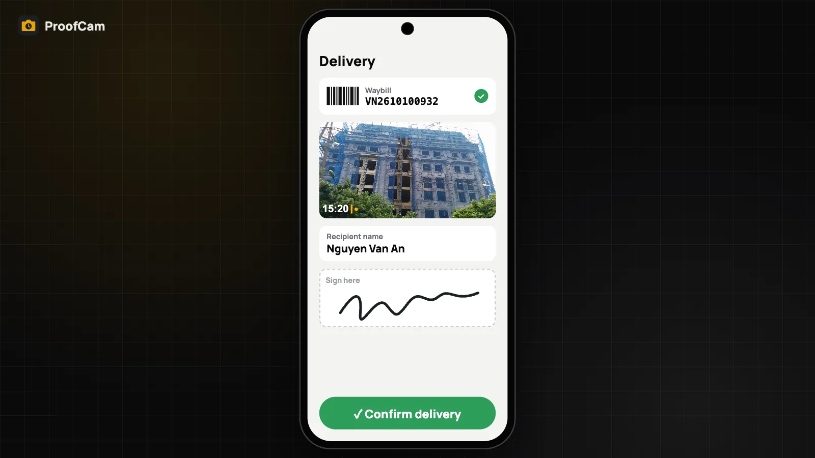
Scan the waybill, photograph the goods, collect the recipient's name and signature, then share a proof page link. Works offline and syncs later.
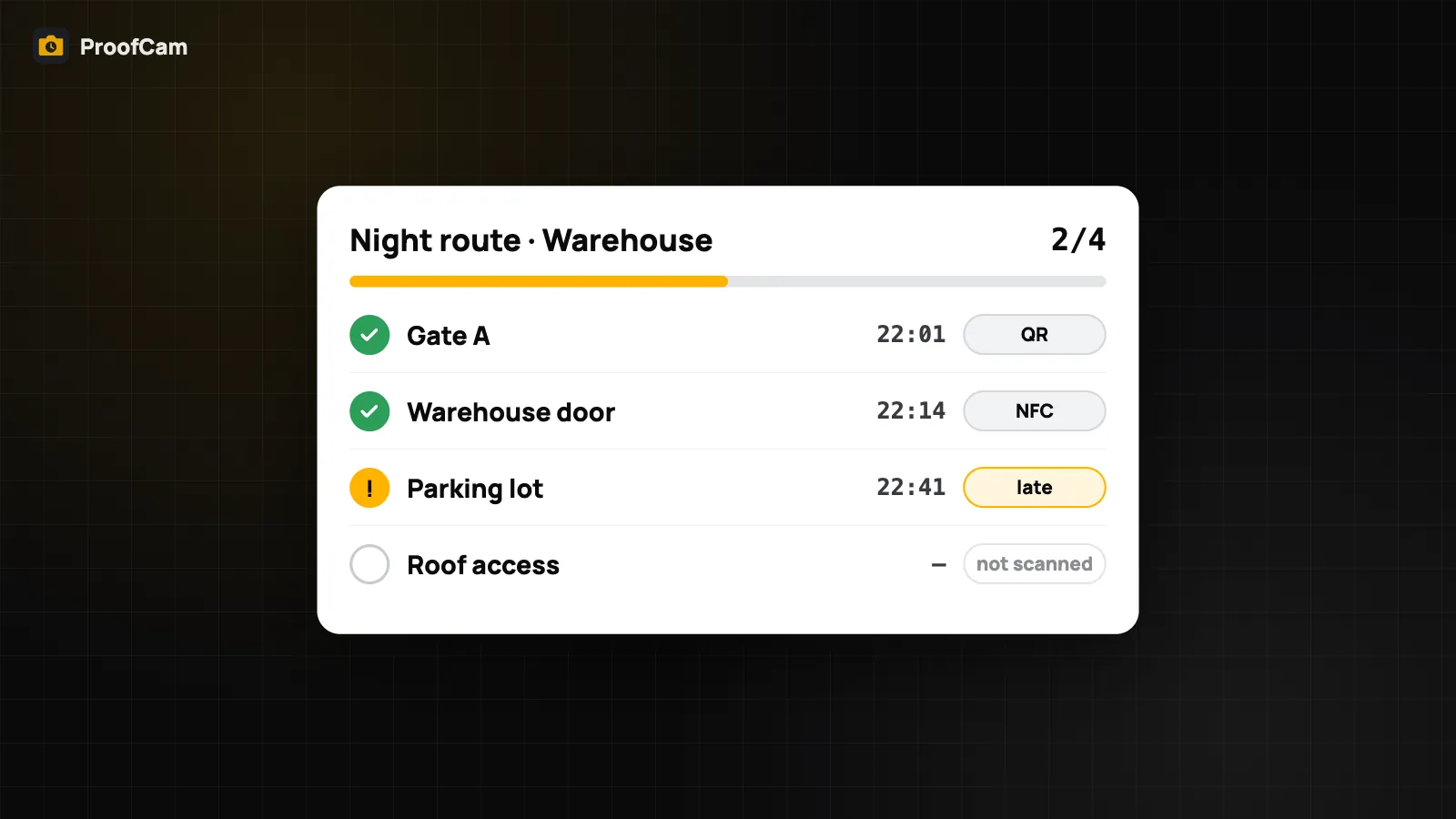
Guards scan a QR code or NFC tag at each checkpoint and get a stamped photo. Managers see rounds on time, late or missed, plus incident reports.