The photos are taken. Now someone needs them in a form they can file: a PDF for the client, a spreadsheet for the project engineer, a folder of originals for the archive, pins on a map for the survey team. Doing that by hand means renaming files one by one, copying times and coordinates into Excel, and pasting pictures into a Word document until midnight.
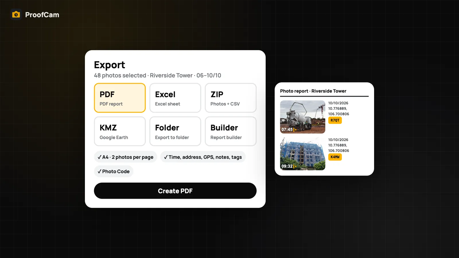
ProofCam lets you export geotagged photos in four formats straight from the phone, or from the Teamspace web portal for the whole team: a PDF report, an Excel sheet with coordinates, a ZIP with photos and a CSV index, and a KMZ file for Google Earth. Every row and page keeps the time, address, GPS and Photo Code that were stamped at capture.
The four export formats
Select photos in the gallery and tap Export report. You choose one of four formats:
| Format | What you get | Good for |
|---|---|---|
| PDF report | A4 pages, 2 photos per page, with time, address, GPS, notes, tags and Photo Code | Clients, handover files, printing |
| Excel sheet | One row per photo: No, time, address, Lat, Lng, notes, tags, Photo Code, file name | Engineers, quantity lists, filtering and sorting |
| ZIP (photos + CSV) | The photo files plus an index.csv (UTF-8) with the same columns |
Archives, handing files to another system |
| KMZ (Google Earth) | Photos placed as pins at their GPS position, images at 1024 px | Route surveys, site maps, environmental points |
A few details that matter in practice:
- If ProofCam could not confirm network time for a photo, the PDF marks that photo with "(device time)", so nobody mistakes it for a checked time.
- Videos are left out of PDF and KMZ files.
- KMZ only includes photos with GPS. Photos taken without a location fix are skipped.
- Marked-up photos go in as the marked-up copy, so arrows and blurred areas appear in the export and blurred faces don't leak.
- The CSV is UTF-8, so Vietnamese addresses and notes open correctly.
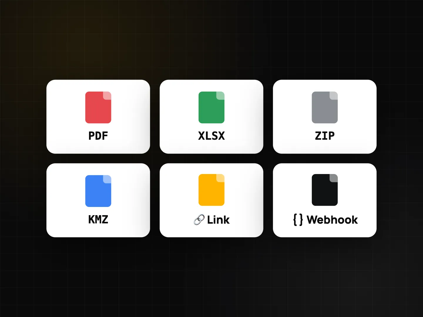
Photo report PDF: quick, or built to your brand
The standard PDF report works on every plan. On Free, an export holds up to 10 photos, the PDF carries a small "Created with ProofCam" footer, and an ad shows after the export. Plus removes the limit and the footer.
For reports that go to a client under your name, use the Report builder: your logo, brand colour, a cover page and a choice of 1, 2 or 4 photos per page. There is also a Quick PDF report option. Both need Plus or a Business team (including the 14-day trial). With Plus you can also schedule an automatic PDF report so it is ready without anyone remembering to make it.
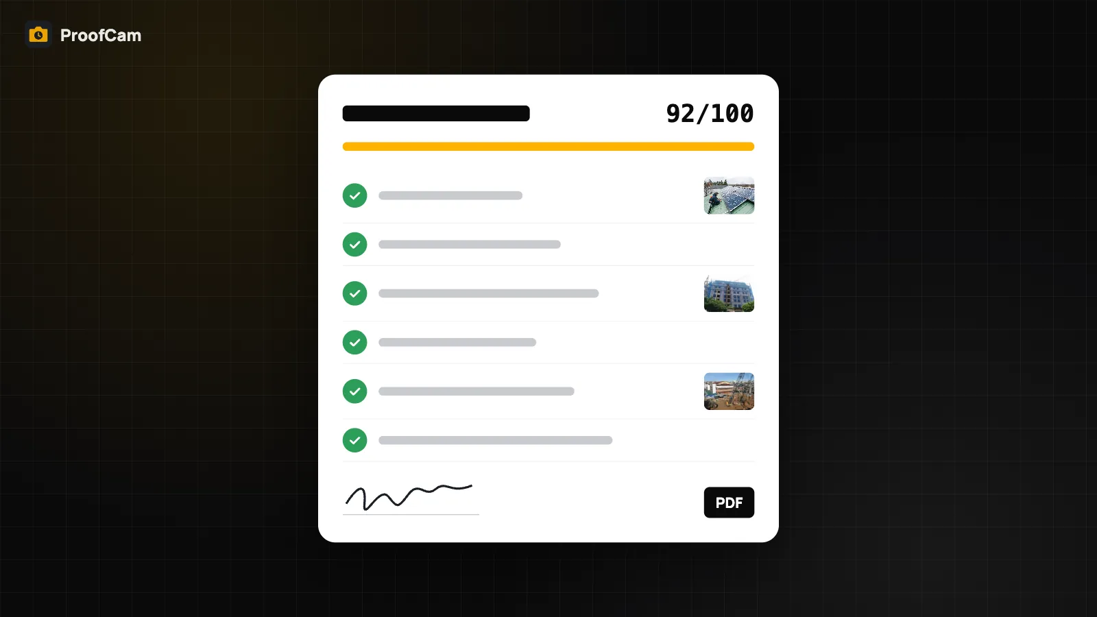
If your report is really an inspection, a checklist with required photos and a signature is often the better starting point. See inspection checklists and PDF reports.
Photos to Excel with location
The Excel sheet gives you one row per photo with the time, address, latitude, longitude, notes, tags, Photo Code and file name. That is the part people usually type by hand, and it is where mistakes creep in: a swapped digit in a coordinate, a time copied from the wrong photo.
Because the data comes from the stamp, you can sort by time, filter by tag, or paste the coordinates into a GIS tool without retyping. Pair the sheet with a ZIP of the same photos, and the file-name column tells you exactly which image each row belongs to. If you need the pictures laid out on pages, use the PDF instead.
KMZ for Google Earth
A KMZ export opens in Google Earth (and most GIS tools that read KML/KMZ) with each photo as a pin at the place it was taken. Click a pin to see the photo. It is a quick way to show a client the route of a telecom site audit or the sampling points of an environmental monitoring log without building a map yourself.
Coordinates are WGS84 from the phone's GPS, which is what Google Earth expects.
Export to folder and rename by date
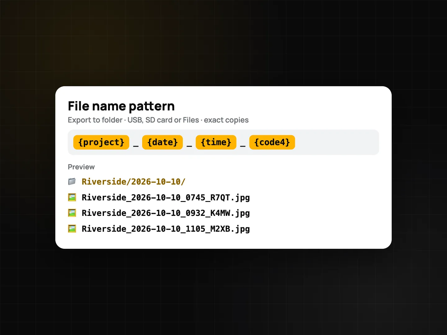
Sometimes you don't want a report at all, just the files, named sensibly, on a USB stick. Export to folder (Free) copies photos byte for byte, so their Photo Codes stay valid, into a layout of Project/yyyy-MM-dd/. Pick a USB drive, an SD card or any folder in Files.
Set a File name pattern with these tokens:
{date}and{time}, to rename photos by date;{project};{code}(full Photo Code) or{code4}(short code);{seq}, a running number;{f1}…{f10}, your custom fields.
The default is {date}_{time}_{code4}. Characters that file systems don't allow are replaced with _, and if two files would get the same name, the second one gets _2.
Export to folder runs on the phone only; there is no web version.
Export geotagged photos for the whole team on the web portal
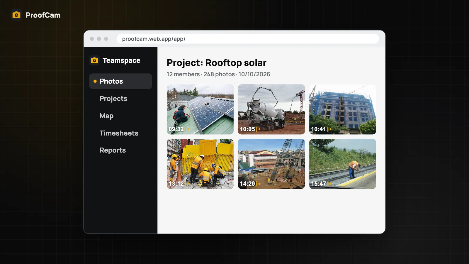
Managers can export geotagged photos from the Teamspace web portal at /app/. The same four formats, PDF, Excel, ZIP and KMZ, are built in the browser, with extra columns for member, project, kind, location accuracy and network time. You need the team's export permission.
The portal also exports PDFs for daily reports, checklists and punch lists, and Excel timesheets (timesheet export). For a weekly report to a retail chain across many stores and staff, the portal is usually the faster route.
If the reader only needs to look rather than file, a share link may be simpler: see share job photos with clients.
Which plan and platforms
| Feature | Android | iPhone | Web portal | Plan |
|---|---|---|---|---|
| PDF, Excel, ZIP, KMZ export | Yes | Yes | Yes (extra columns) | Free up to 10 photos, footer; Plus unlimited |
| Report builder, Quick PDF report | Yes | Yes | – | Plus or Business team / trial |
| Export to folder with file name pattern | Yes | Yes | No | Free |
| Team exports, daily report / checklist / punch list PDFs | – | – | Yes | Teamspace, export permission |
FAQ
Can I export photos to Excel with their GPS coordinates?
Yes. The Excel sheet has one row per photo with time, address, latitude, longitude, notes, tags, Photo Code and file name. On Free, each export holds up to 10 photos.
Why are some photos missing from my KMZ file?
KMZ only includes photos that have a GPS position, and it leaves out videos. Photos taken without a location fix are skipped.
Do exported files still verify with their Photo Code?
Export to folder copies files byte for byte, so their Photo Codes stay valid. Marked-up photos are exported as the marked-up copy, whose fingerprint is added to the Photo Code record.
Can I remove the ProofCam footer from PDF reports?
Yes, with Plus. Plus removes the "Created with ProofCam" footer and the 10-photo limit, and unlocks the Report builder for your own logo and cover page.
Related: search job photos fast and delete duplicate photos.